

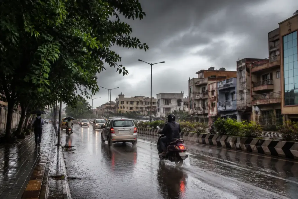
The Chennai rain forecast points to moderate showers for the city as a developing low-pressure area is expected to shift heavy rainfall towards southern Tamil Nadu, according to the India Meteorological Department. The IMD has issued an orange alert for three southern districts and a yellow alert for 19 districts for Wednesday.
Several parts of Chennai and its suburbs received another spell of rain on Tuesday after intense weekend rainfall. The city is likely to record moderate rain, with maximum temperatures between 30°C and 31°C and minimum temperatures between 25°C and 26°C.
V R Durai, director of the Area Cyclone Warning Centre at the Regional Meteorological Centre in Chennai, said the low-pressure area likely to form over the Gulf of Mannar could move towards Kerala. This movement may draw moisture away from north Tamil Nadu and reduce rainfall activity across the region.
Durai said another low-pressure area could form near the Andaman Islands around October 23 and move northwest towards north Andhra Pradesh and south Odisha. This system could also pull moisture away from north Tamil Nadu, with near-dry weather possible across the region until the end of the month, he said.
Tuesday’s rainfall included 6.2mm at Nungambakkam and 6.6mm at Meenambakkam. Automatic rain gauges recorded 24mm at Good Will School in Villivakkam and 7.5mm at Puzhal. The rainfall followed multiple spells across Chennai and neighbouring districts during the month.
Chennai’s monthly rainfall has reached 167.2mm, about 37% above normal. Kancheepuram has recorded 115.1mm, which is 12% above normal, while Tiruvallur has received 114.1mm, or 11% above normal. Chengalpet has recorded 70.9mm, around 37% below normal.
Cloud cover is expected to continue, keeping maximum temperatures around 31°C to 32°C, although temperatures could rise during the last few days of October. The IMD official said warmer-than-usual waters in the Bay of Bengal could continue generating weather systems in the coming weeks, potentially bringing further rain to Chennai. The immediate forecast, however, indicates that the heavier activity is likely to move towards southern Tamil Nadu.


