Pune’s project-affected land audit is turning a long-running rehabilitation problem into a test of whether government records can finally establish who is entitled to alternative land, who has already received it and where irregular allotments may have occurred. The district administration is bringing land-distribution information from 25 dam and irrigation projects onto a single digital dashboard, while checking 1,563 suspected cases of duplicate allotment.
The exercise matters because the rehabilitation question is not limited to the availability of land. It also depends on the accuracy of records created across different periods, the legal framework applicable when land was acquired, the relationship between original landholders and successors, and proof of whether a beneficiary chose cash compensation, alternative land or both. The administration’s current process attempts to place these separate layers of information in one system.
According to the report by Lokmat – Pune, 36,096 hectares were acquired for the 25 projects and 22,976 project-affected people are recorded in the administration’s data. Existing digital records show that 6,045 farmers have received allotments covering 13,783 hectares. However, the administration estimates that the number of people for whom land-distribution orders were actually issued may be around 10,000. The gap of roughly 4,000 records is being examined through succession and ownership links with the original account holders.
This difference between the recorded beneficiaries and the estimated number of beneficiaries is central to the audit. A land-allotment register is not simply a list of names. It carries the history of acquisition, compensation, inheritance, administrative orders and subsequent transfers. If any of those links are incomplete, eligible families may remain outside the current database, while duplicate or improper claims may not be immediately visible.
The administration has identified 1,563 cases that appear to involve duplicate allotment. Preliminary field verification has found 16 cases of actual duplicate distribution, while the remaining cases are to undergo detailed scrutiny. That distinction is important. A suspected duplicate entry is not the same as a confirmed illegal allotment. The final position will depend on original documents, field verification and the rules applicable to each case.
The reported list includes major projects such as Ujani, Veer, Panshet, Varasgaon, Pavana, Chaskaman, Dimbhe, Yedgaon, Chillewadi, Pimpalgaon Joga, Wadivale, Temghar, Bhama Askhed, Gunjavani, Kasarsai and Nira Deoghar. Together, these projects represent several generations of water and irrigation infrastructure in Pune district. Their rehabilitation records were created under different administrative and legal circumstances, making a single, uniform interpretation difficult.
The legal history of land acquisition is one reason the administration is examining the files project by project. For projects in which land was acquired before 1976, the applicable provision reportedly provided for 100 per cent alternative land for affected farmers. In some later projects, affected landholders could choose between cash compensation and alternative land. Those seeking alternative land were required to deposit 65 per cent, or in some locations 75 per cent, of the land-acquisition compensation with the government.
The question of whether that amount was deposited could determine eligibility in cases where a landholder accepted the full cash compensation. The administration has therefore sought original receipts and lists from the land-acquisition officers. These records are expected to help establish how many project-affected people remain eligible for alternative land under the law applicable at the time of acquisition.
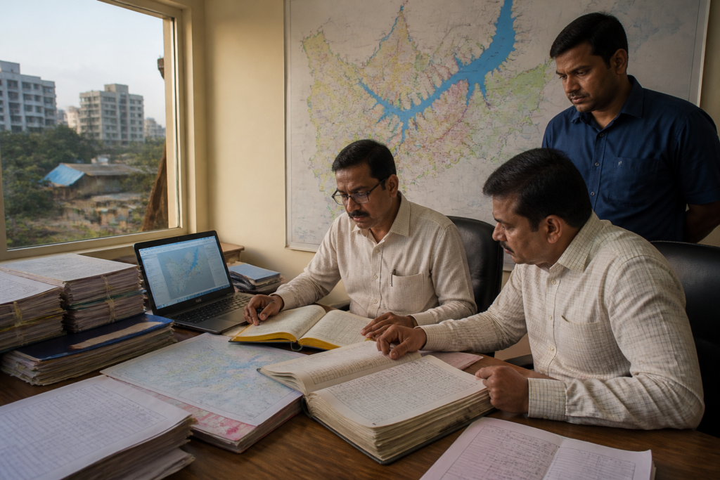
This shows why digitisation alone cannot resolve the rehabilitation backlog. A dashboard can bring records together, identify inconsistencies and make comparisons possible, but it cannot by itself decide whether an old claim is valid. That decision requires original receipts, allotment orders, acquisition records, succession documents and field-level confirmation. The current process combines digital records with physical documents and local verification precisely because the information is distributed across these sources.
The verification chain begins at the village level. Talathis are entering information, after which tehsildars and sub-divisional officers are conducting detailed checks. Each page is reportedly being certified with a signature and official stamp. The process is therefore not being treated as a purely technological exercise; it is an administrative validation of the data that will eventually support decisions on eligibility and possible recovery or action against irregular allotments.
For project-affected families, the immediate issue is the difference between being recognised in principle and being recorded as an eligible beneficiary. The administration’s estimate of about 10,000 beneficiaries compared with 6,045 names currently visible in digital records indicates that succession and historical documentation may be affecting access to rehabilitation benefits. Until those relationships are verified and records updated, the official count cannot be treated as final.
The audit also highlights the institutional complexity of rehabilitation. Land acquisition officers hold records connected to compensation, while revenue officials maintain land and succession records. Field officials verify information on the ground, and senior revenue authorities examine the resulting files. The dashboard can connect these functions, but responsibility remains distributed across the administration. Any final decision on eligibility or action against duplicate benefits will depend on this chain of authority.
The administration’s stated objective is twofold: to identify eligible project-affected farmers who have been waiting for alternative land and to prevent people from obtaining benefits more than once. These objectives can come into tension if incomplete records are treated as proof of ineligibility or if suspected duplicate cases are treated as confirmed wrongdoing before verification is complete. The report indicates that the district administration is distinguishing between preliminary findings and cases requiring deeper scrutiny.
The data also reveals the scale of the unresolved land question. The 25 projects account for 36,096 hectares of acquired land, while 13,783 hectares have been recorded as allotted to 6,045 farmers. The administration is still determining the status of the remaining land and the final number of eligible beneficiaries. The figures cannot, on the basis of the supplied report alone, establish how much land remains available for distribution or whether every recorded beneficiary has received possession.
Pune’s experience reflects a wider administrative challenge in infrastructure-led development: the physical project may be completed, but the social and land records created during acquisition can remain unsettled for decades. Reservoirs, irrigation systems and related infrastructure are planned through engineering and financial decisions, while rehabilitation requires continuous management of people, land titles and changing family structures. When those systems are not integrated, old claims can remain unresolved even after the infrastructure has become part of the region’s operating landscape.
The digital dashboard is therefore significant less as a software project than as an attempt to create a common administrative record. Its value will depend on whether it can reconcile the 25 project registers with original acquisition documents, compensation records, succession evidence and field verification. It will also depend on whether the final record clearly separates confirmed allotments, pending claims, duplicate entries and cases where eligibility is still under examination.
The current evidence confirms the scale of the record discrepancy and the administration’s decision to investigate it. It does not yet establish the final number of eligible beneficiaries, the total extent of land still to be allotted or the number of duplicate benefits that will ultimately be proved. The next decisive steps are the verification of the approximately 4,000 unupdated beneficiary records, examination of original compensation receipts and detailed scrutiny of the 1,563 suspected duplicate-allotment cases.