

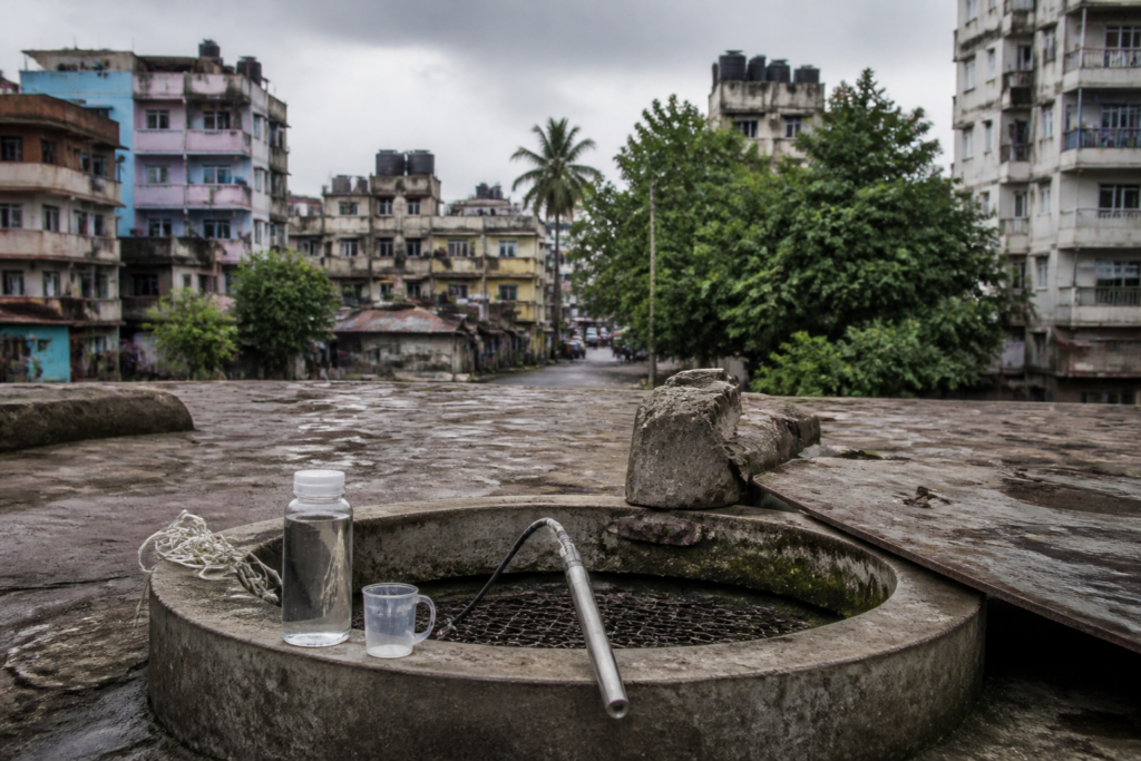
Mumbai groundwater is facing a risk that conventional extraction numbers do not fully capture. A Central Ground Water Board assessment has found that nearly 35 per cent of the city’s area is highly vulnerable to seawater intrusion, even though overall groundwater extraction levels remain below the threshold generally considered high.
The finding matters because it exposes a weakness in judging groundwater security through citywide averages alone. The CGWB’s 2025 Aquifer Management Plan, covering 603 sq km across Mumbai city and its suburban districts, identifies localised zones where saline water has already entered freshwater-bearing formations. Fort, Shivaji Park in Dadar, Mulund East and Mahim are among the areas where saline groundwater was recorded.
The assessment links the risk to the relationship between pumping and pressure inside coastal aquifers. Excessive extraction can reduce the pressure exerted by freshwater and allow seawater to move into underground freshwater reserves. Once salinity rises significantly, the groundwater may no longer be usable, even if the broader district’s extraction percentage appears moderate.
That distinction is central to Mumbai’s water planning. The city depends primarily on seven surface-water reservoirs for drinking water, with the southwest monsoon replenishing them between June and September. Groundwater, which was once drawn more routinely from wells and other local sources, now largely supplements the municipal supply. This makes it a secondary source in the city’s formal water system, but not an irrelevant one: local wells and borewells can still provide water to buildings, institutions and other users when surface-water availability is constrained.
The CGWB places groundwater extraction at 46 per cent in Mumbai city district and 26 per cent in the suburban district. These figures do not indicate high extraction at the district level. But the study cautions that such averages cannot rule out localised seawater intrusion, particularly where shallow aquifers lie close to the coast or where pumping is concentrated.
The geography of the risk helps explain why the city’s groundwater challenge cannot be managed through a single rule. Shallow aquifers along the western and southern coasts are especially vulnerable to saline intrusion. In the eastern zone, deeper aquifers near creeks face greater risk. Saline intrusion was observed particularly during the pre-monsoon period, when groundwater conditions can become more stressed before the monsoon recharge cycle begins.
Electrical conductivity, or EC, provides one of the study’s clearest indicators. The measure reflects the concentration of dissolved salts in water. The assessment recorded EC levels above 10,000 microsiemens per centimetre in highly saline groundwater zones, including Fort, Mulund East and Shivaji Park. These readings show that the problem is not limited to a theoretical risk of future contamination; some locations already display groundwater conditions associated with high salinity.
The recommendations are consequently location-specific. The report calls for groundwater development in Fort to be restricted to depths of up to 60 metres. In Shivaji Park, where highly saline water was found at shallow depths, it recommends a complete prohibition on groundwater development. This approach recognises that aquifers beneath the same metropolitan area do not have the same vulnerability, depth profile or recharge conditions.
The proposed controls also shift attention from extraction alone to aquifer recharge. The CGWB recommends recharge pits with filters, recharge shafts and percolation tanks or ponds, particularly in parks and gardens located in vulnerable areas. Such structures are intended to replenish freshwater aquifers and maintain the pressure that helps resist the movement of seawater.
This is an important planning issue for a densely built coastal city. Recharge is not simply a technical intervention that can be applied wherever land is available. It depends on the permeability of surfaces, the quality of incoming water, the location of the aquifer, the availability of public or institutional land and the ability of agencies to maintain the structures. The supplied assessment identifies the types of recharge infrastructure required, but does not establish how many structures are needed, where they will be built or how they will be funded and maintained.
The report also recommends regular EC monitoring in coastal observation wells. Monitoring matters because salinity can vary across short distances and over time. A one-time reading can identify a problem zone, but a network of observation wells is needed to establish whether salinity is expanding, receding seasonally or responding to changes in pumping and rainfall.
The proposed regulation of new deep borewells points to another institutional challenge. The CGWB says such wells, particularly those tapping fractured rock zones, should be permitted only after detailed hydrogeological and geophysical investigations. This places greater emphasis on the quality of approvals before drilling begins, rather than attempting to control groundwater damage after a borewell is operational.
That requirement is significant in Mumbai because groundwater is underground but its consequences are visible at the surface through building water systems, local supply arrangements and the changing role of wells. Effective regulation therefore requires coordination between groundwater authorities and the municipal administration. The relevant question is not only whether a particular borewell is technically possible, but whether its operation is compatible with the condition of the aquifer around it.
The Brihanmumbai Municipal Corporation has commissioned the All India Institute of Local Self Government to study salinity levels in Mumbai’s groundwater. The agency will collect samples from wells across the city to assess the extent of salinisation. This exercise could provide a more current and granular picture of how widely the problem is distributed, although the available report does not yet provide the sampling plan, results or timeline for its completion.
The institutional sequence is therefore clear but incomplete. The CGWB has mapped vulnerability and recommended controls. The BMC has initiated a separate citywide sampling exercise. What remains to be established is how the findings will be combined into an operational groundwater-management framework, including restrictions, monitoring responsibilities, approval procedures and enforcement.
Mumbai’s dependence on reservoirs also creates a misleading impression that groundwater is peripheral to its water security. The city’s main drinking-water system is built around surface reservoirs replenished by the monsoon, but that arrangement does not eliminate the need to protect underground water. Groundwater can serve as a supplementary source, and aquifers can also function as local stores of freshwater when recharge is possible. Once seawater enters them, however, the loss is not equivalent to a temporary fall in reservoir levels. Salinisation can compromise usability in the affected formation and complicate future recovery.
The study’s numbers show why the city needs a more localised understanding of water risk. Nearly 35 per cent of Mumbai’s area is described as highly vulnerable to seawater intrusion, while district-level extraction stands at 46 per cent in the city district and 26 per cent in the suburban district. These figures are not contradictory. They measure different aspects of the system: one describes vulnerability to a coastal hydrogeological process, while the other describes the proportion of assessed extraction potential being used. A place can have moderate overall extraction but remain highly vulnerable because of its geology, proximity to the sea or concentration of pumping.
This distinction also changes how groundwater data should be read in urban policy. A citywide extraction percentage cannot by itself determine whether a particular neighbourhood can safely support another borewell. The CGWB’s recommendations for Fort, Shivaji Park and deeper aquifers near eastern creeks show that permission must be informed by local hydrogeology rather than by a uniform metropolitan threshold.
The larger urban question is how Mumbai manages water sources that operate at different scales. Reservoirs are planned as regional infrastructure, while wells and borewells are often encountered at the building, neighbourhood or institutional level. The aquifer, meanwhile, ignores administrative boundaries. Its condition is shaped by rainfall, recharge, pumping, geology and seawater movement across a connected underground system.
The evidence currently confirms three points. Mumbai has substantial localised vulnerability to seawater intrusion; saline groundwater has already been observed in identified parts of the city; and district-level extraction figures do not remove the need for neighbourhood-level restrictions and monitoring. The next important evidence will come from the BMC-commissioned sampling exercise and from implementation of the CGWB’s recommendations on recharge, observation wells and borewell approvals. Until those steps produce a fuller monitoring record, Mumbai’s groundwater remains a partly measured but increasingly important component of the city’s water security.


