

Goa’s State Urban Development Agency is appointing an independent agency to audit the state’s GIS-based property tax survey before the digital database is formally accepted, a move intended to detect errors in property records and strengthen municipal revenue mapping across urban local bodies.
The audit is expected to cost around Rs 15 lakh and will assess whether the survey data is accurate, complete and compliant with technical requirements. The selected agency will submit a report based on sample field checks, scrutiny of digitised records and recommendations for formally closing the survey, a GSUDA official said.
The GIS-based property tax assessment survey has been undertaken in Mormugao, Margao, Mapusa and Panaji, as well as other urban local bodies in North and South Goa. The exercise is designed to create an updated, location-linked database that can help civic authorities identify properties, assess taxes and improve municipal monitoring.
The independent audit will examine the data, documents, GIS layers and survey records submitted by the primary executing agency. Its verification process will include database checks, data validation and sample-based field inspections to compare digital records with property details on the ground.
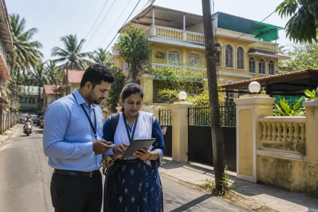
During the survey, the primary agency was assigned to collect household and property-level information, record precise geographic coordinates, photograph properties and link relevant ownership identifiers. The auditor will check this material for discrepancies, omissions and errors before GSUDA accepts the survey as complete.
“Because this localised data will form the foundation for future property tax assessments and broader municipal revenue administration, state authorities have determined that its reliability, consistency, and conformity to technical requirements must be independently vetted,” a GSUDA official said.
The audit reflects the administrative importance of the survey beyond the creation of a digital map. Property-level data is intended to support the identification of taxable properties and provide urban civic bodies with a more consistent basis for revenue administration. Errors in location, ownership or property records could affect the accuracy of assessments and the ability of municipalities to track their revenue base.
GSUDA officials said the verified, GIS-mapped property database would support the modernisation of local governance. By creating a transparent digital property ledger and identifying mapping errors, the exercise is also intended to help address potential revenue leakages across Goa’s urban civic bodies.
The audit agency’s report and field verification findings will determine the corrections required and provide the basis for GSUDA’s decision on formally closing the property tax survey.


