

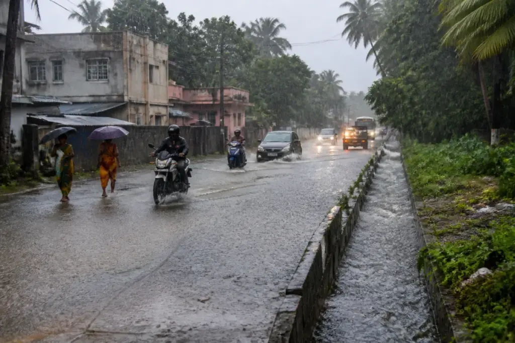
Tamil Nadu rainfall intensified across several districts, with Oothu in Tirunelveli recording the highest total of 128 mm in the 24 hours covered by the report, while the weather centre warned that heavy rain is likely to continue.
The rainfall comes ahead of the expected formation of a low-pressure area over the Bay of Bengal. The weather centre said the developing system could bring further heavy rain to different parts of Tamil Nadu. The report did not specify the exact timing, track or district-wise alert categories associated with the system.
Tiruchendur recorded 117.6 mm, followed by Kayalpattinam with 115 mm. Nalimukku received 112 mm, while Chengam and Valinokkam each recorded 111 mm. Surulakode recorded 105 mm during the same 24-hour period.
Other locations that received significant rainfall included Adayamadai at 96.2 mm, Uthukottai at 94 mm, Shenkottai at 90 mm, Kuzhithurai at 89 mm, Kakkachi at 88 mm, and Perunchani and Tirukalukundram at 86 mm each. Kalasapakkam recorded 86 mm, while Tirparappu received 85 mm.
The list also included Needamangalam and the Nambiyaru dam area at 80 mm each, Kulasekaram at 78 mm, Sathankulam at 75 mm, and Kovilpatti and Gundar dam at 70 mm each. Manjolai recorded 68 mm, Usilampatti 67 mm, Kothagiri 51 mm and Valparai 17 mm.
The distribution shows that the rainfall was not limited to a single part of the state. Coastal locations such as Tiruchendur and Kayalpattinam, southern districts including Tirunelveli and Kanyakumari, and inland areas such as Chengam and Uthukottai all appeared among the locations reporting substantial totals.
For urban areas, continued heavy rain can place pressure on storm-water drains, low-lying roads, traffic corridors and water-management systems, particularly where rainfall arrives in short, intense spells. The report, however, does not provide details of flooding, road closures, public transport disruption or damage in any of the locations listed.
The rainfall measurements were reported by Dinamalar in a location-wise account of the previous 24 hours. The next significant weather development identified in the report is the expected formation of the low-pressure area over the Bay of Bengal, after which further rainfall updates and official warnings will determine the immediate impact on Tamil Nadu.


