

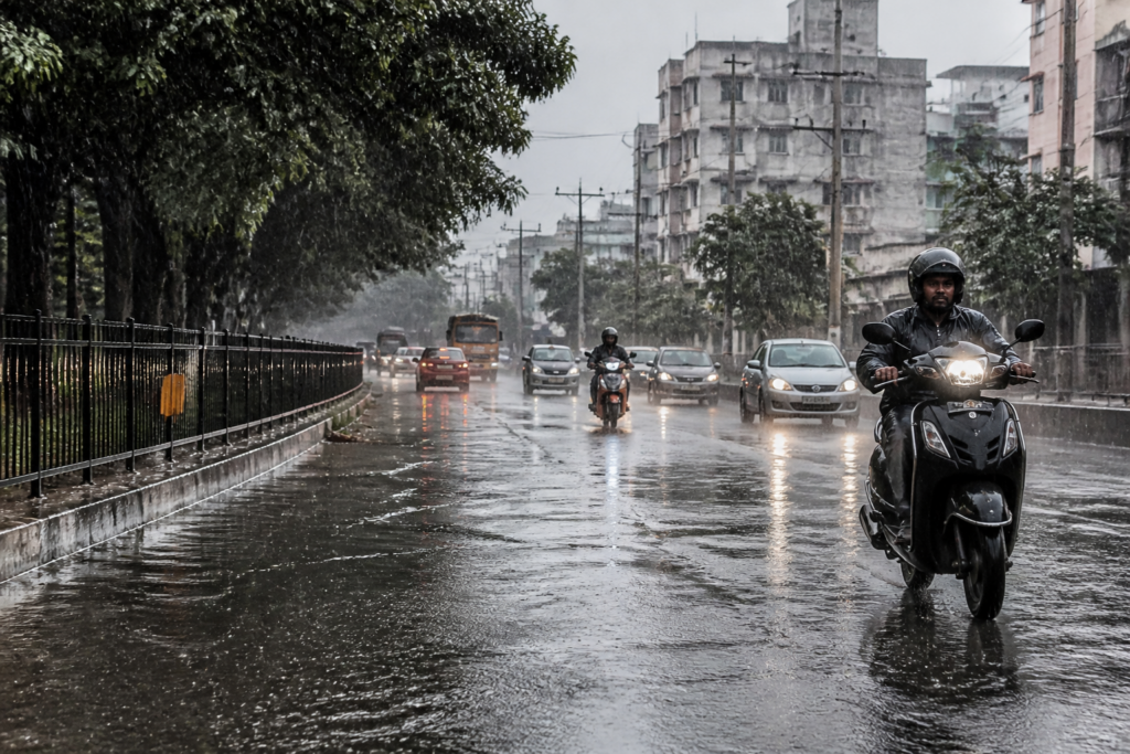
The northeast monsoon has reached Tamil Nadu, with the India Meteorological Department forecasting rain across the state over the next three to four days and warning of heavy rain in Chennai and neighbouring districts on Saturday. Intense spells were reported in parts of Chennai’s western suburbs on Thursday morning, even as several core city areas received little rain.
The IMD has issued an orange alert for six districts along the Western Ghats and adjoining areas for Friday, forecasting heavy to very heavy rain of 12-20cm in 24 hours. A yellow alert covering 20 districts has also been issued for heavy rain of 6-12cm.
For Saturday, a yellow alert is in place for 26 districts, including Chennai, Chengelpet, Tiruvallur and Kancheepuram. V R Durai, director of the Area Cyclone Warning Centre at the Regional Meteorological Centre in Chennai, said the city could receive moderate-intensity rainfall for the next two days.
The rainfall is being driven by an upper-air cyclonic circulation over south coastal Tamil Nadu and a trough extending from the circulation to the northwest Bay of Bengal off Odisha. According to the IMD, the circulation is drawing moist air upwards, while the trough is bringing winds together and forcing air to rise, cool and form rain-bearing clouds. The location of these systems will influence where the heaviest spells occur.
The first spells have been uneven across Chennai. Weather bloggers reported around 40mm of rain in 30 minutes in Ambattur and Ayappakkam on Thursday. In contrast, Nungambakkam recorded only traces of rain and Meenambakkam recorded 0.4mm by 5.30pm. Cloud cover brought the maximum temperature down to 32.9°C in Nungambakkam and 30.8°C in Meenambakkam.
Durai said the northeast monsoon was likely to be normal for Tamil Nadu overall, although rainfall could vary significantly by region. Northern districts may receive below-normal rainfall, while southern districts could receive normal to above-normal rainfall. Coastal districts are expected to receive normal rainfall. The IMD has also forecast temperatures 2-3°C above normal in isolated pockets over interior Tamil Nadu, partly reflecting the possible influence of El Nino, while temperatures are expected to remain near normal elsewhere.
The monsoon arrives after Tamil Nadu recorded a 21% rainfall deficit during the June-September southwest monsoon, the state’s third-highest deficit since 2002. The northeast monsoon is therefore important for replenishing water sources. Tamil Nadu receives about 45cm of rain during October-December, accounting for nearly 48% of its annual rainfall. Chennai receives around 87cm during the season, or approximately 60% of its annual total.
The five key reservoirs supplying Chennai held 3,959 million cubic feet, or 33.74% of their combined capacity, as of October 15. The immediate forecast combines the prospect of improved water inflows with the risk of intense, short-duration rain in locations where drainage capacity can be tested. The IMD’s next alerts and rainfall assessments will determine how conditions develop across Chennai and the rest of Tamil Nadu.


