

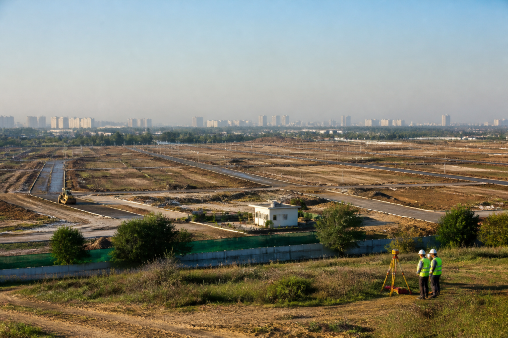
The Noida Authority has created three new administrative circles for the New Noida (DNGIR) area to prevent illegal encroachment and construction after land acquisition, while speeding up planned development across 80 villages expected to eventually accommodate more than five lakh people.
The authority has formed Circles 11, 12 and 14 exclusively for the New Noida region and issued an order assigning their responsibilities. General Manager S.P. Singh will oversee Circle 11, while General Manager A.K. Arora has been given charge of Circles 12 and 14.
Senior managers and managers will now be appointed to the three circles. Their responsibilities will include preventing illegal occupation and construction, as well as monitoring and accelerating development work in the area. The administrative arrangement comes as the authority prepares to begin work on the first phase of the proposed city.
New Noida is planned across 209.11 square kilometres, or 20,911.29 hectares, and will be developed in four phases. The first phase covers 3,165 hectares and is scheduled for development between 2023 and 2027. The second phase is planned for 3,798 hectares between 2027 and 2032, followed by 5,908 hectares between 2032 and 2037. The final phase, covering 8,230 hectares, is scheduled between 2037 and 2041.
The first-phase deadline is approaching, and the authority is preparing to start the associated development work, according to the report. The creation of dedicated circles is intended to provide a local administrative structure for managing construction activity and preventing unplanned growth as land acquisition and development progress.
The authority has also prepared a compensation policy for acquiring land for New Noida. The policy follows the methodology used by the Yamuna Expressway Industrial Development Authority, with land to be acquired from farmers on the basis of consent.
For land purchased during the first and second phases, farmers will receive the prescribed compensation rate along with a benefit equivalent to a six per cent population plot under the Greater Noida Authority’s policy. For the third and fourth phases, the compensation rate will be accompanied by a seven per cent population plot benefit in line with the Yamuna Authority’s rules.
A geographic information system map based on geospatial data analysis will also guide the planning of New Noida. According to Noida Authority officials, the map will be used to determine the location of residential, industrial and institutional areas, plan the road network and identify measures for conserving water bodies.
The authority has said the geospatial planning process is intended to support the development of New Noida as a modern and organised city. The immediate administrative step is the appointment of senior managers and managers for the three newly created circles, followed by the planned rollout of development work in the first phase.


